Last weeks review: Often dry and sometimes warm but very cool and in places wet Friday
Warm with sunny intervals for the Midlands last Sunday while rather cloudy with a little drizzle for West Wales (WW), temperatures quite warm over parts of the Midlands but generally near or below average (Nottingham 23.9c, Trawsgoed 20.6c, Capel Curig 16.0c). Sunday night was very mild, not dropping below 14c for most (Pershore min 17.1c), some showery rain in places for a time Monday but some stayed dry and it brighened during the afternoon. Temperatures by day near or below average for WW (Llanwnnen 20.6c, Aberdaron 16.4c) while the Midlands turned rather warm with the late sunshine (Coleshill 24.1c). Mist and cloud cleared most places Tuesday to a give pleasant dry day with some sunny spells and near average temperatures (Newport, Salop 22.7c, Milford Haven 20.1c). Aberporth although the sunniest spot in the UK on Tuesday with 10 hours bright sunshine was also the coolest spot in Wales with a max of just 16.4c due to the breeze off a cool Cardigan Bay.
Mostly clear and cool inland Tuesday night (Capel Curig 3.7c) although much milder around coasts (Mumbles min 14.0c). Warm and mostly sunny Wednesday, the warmest day of August thus far for parts of Wales (Llanwnnen 24.4c, Trawsgoed 23.7c) with some slightly higher readings over the Midlands (Coton-in-the-Elms, near Burton-on-Trent, Derbyshire 25.8c) although again much cooler for some Cardigan Bay coasts (Aberporth 18.3c). Big temperature contrasts across Wales during Wednesday night, over the inland north where it was clear it turned very cool (Capel Curig 6.3c), very mild for parts of the south coast on the other hand with more cloud plus a warmer air mass advecting up from France (Mumbles min 17.1c). A lot of cloud on Thursday, with some rain or showers eventually, much of this light and patchy, but with increasingly heavy showers over the East Midlands during the evening. It was briefly warm during morning sunshine here at Llanwnnen (23.1c) and for NW Wales where the sun shone longest (Porthmadog 23.3c), otherwise temperatures average at best (Wellesbourne 20.7c).
Rain became widespread and particularly heavy at times across the Midlands Thursday night into Friday: 27.2mm fell in under 12 hours at Long Lawford (Warks) to 0900 Friday, with 15mm falling in just 1 hour at nearby Church Lawford, even wetter at Pershore (Worc) - a 44mm deluge in the 24 hours to 1800 Friday. It was also a very mild night at above 14c for most places, contrastingly though Friday was cool and cloudy as the air mass changed, many places barely warmer in the afternoon than they had been the previous night (best Porthmadog 18.3c, worst Swyddfynnon max 14.9c) The rain and drizzle cleared WW in the afternoon but persisted into the evening over parts of the Midlands although much lighter by this stage, a few late bright intervals then across WW. Bright but rather cool and mostly dry Saturday (Pershore 20.0c, Milford Haven 17.8c, Aberporth & Capel Curig 15.4c). Very cool for August last night with a ground frost in Shropshire (lowest air min Llanwnnen & Shobdon 2.4c).
The week ahead: Mostly dry and reasonably warm start, more unsettled from Wednesday/ Thursday with some rain or showers
Mostly dry with some sunshine the rest of Sunday afternoon, a few places catching a shower though, disappointing Summer temperatures once more, nowhere likely to better 20c but at least winds are light and so it will be quite pleasant in any sunny intervals. Dry and cool with clear periods tonight, locally 3c in rural spots with some dawn mist or fog. This same slack 'No Man's Land' set up remains until midweek with a mostly dry and quiet spell of weather through perhaps to at least Tuesday and possibly also Wednesday, some pleasant sunny spells and just the outside chance of a shower. Chilly over Wales in particular Monday night, 5c in places here but a bit milder over the Midlands. Getting a bit warmer in the first part of the week and by Tuesday many places inland should be into the low 70's f (21 to 23c) with winds remaining generally light although cooling sea breezes may well set up for coastal Wales making it more like max 18 or 19c here.
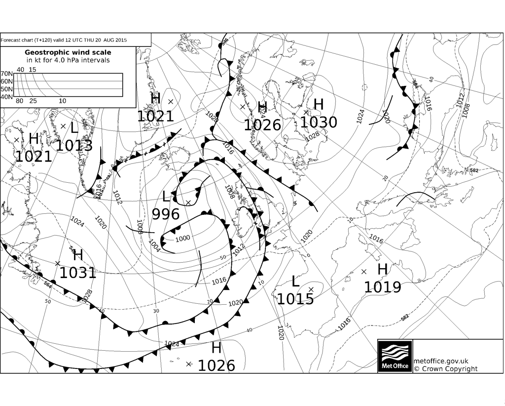
Slow moving area of low pressure to the NW of the UK are taking command of our weather from Wednesday. Enough of an influence of high pressure close to SE UK on Wednesday itself to provide a dry and warm day over the Midlands where some spots may reach 25c given decent sunny spells. It seems likely though that rain fronts will be arriving across Wales during the course of the day with freshening southerly winds and so perhaps not such a pleasant day here as it may end up rather wet and windy, and if so no higher than 18c. Still a chance does exist that these fronts are delayed and WW also gets at least a half decent Wednesday. There could well be rain at times during Wednesday night with the Midlands still in with a chance of staying mostly dry. The progress of fronts across the UK difficult to assess on Thursday too, it does look like Wales at least will be seeing further showery rain at times, although there should also be drier spells, the Midlands also has a rain risk but a better chance of staying dry in places. Temperatures cloud/ rain dependent on Thursday, 24c potentially over the brighter East Midlands, with WW unlikely to see better than 20c and cooler still if wet.
Friday and the weekend the air mass looks set to turn more definitely unsettled and cooler for all areas. Probably a sunny intervals and showers set up, so some places escaping these and not having so bad a weekend, but some longer spells of rain cannot be ruled out either. It must be stressed however that that there is no clear signal for next weekend and so this prognosis may prove somewhat inaccurate - mixed Summer 2015 continues!


Mostly clear and cool inland Tuesday night (Capel Curig 3.7c) although much milder around coasts (Mumbles min 14.0c). Warm and mostly sunny Wednesday, the warmest day of August thus far for parts of Wales (Llanwnnen 24.4c, Trawsgoed 23.7c) with some slightly higher readings over the Midlands (Coton-in-the-Elms, near Burton-on-Trent, Derbyshire 25.8c) although again much cooler for some Cardigan Bay coasts (Aberporth 18.3c). Big temperature contrasts across Wales during Wednesday night, over the inland north where it was clear it turned very cool (Capel Curig 6.3c), very mild for parts of the south coast on the other hand with more cloud plus a warmer air mass advecting up from France (Mumbles min 17.1c). A lot of cloud on Thursday, with some rain or showers eventually, much of this light and patchy, but with increasingly heavy showers over the East Midlands during the evening. It was briefly warm during morning sunshine here at Llanwnnen (23.1c) and for NW Wales where the sun shone longest (Porthmadog 23.3c), otherwise temperatures average at best (Wellesbourne 20.7c).
Rain became widespread and particularly heavy at times across the Midlands Thursday night into Friday: 27.2mm fell in under 12 hours at Long Lawford (Warks) to 0900 Friday, with 15mm falling in just 1 hour at nearby Church Lawford, even wetter at Pershore (Worc) - a 44mm deluge in the 24 hours to 1800 Friday. It was also a very mild night at above 14c for most places, contrastingly though Friday was cool and cloudy as the air mass changed, many places barely warmer in the afternoon than they had been the previous night (best Porthmadog 18.3c, worst Swyddfynnon max 14.9c) The rain and drizzle cleared WW in the afternoon but persisted into the evening over parts of the Midlands although much lighter by this stage, a few late bright intervals then across WW. Bright but rather cool and mostly dry Saturday (Pershore 20.0c, Milford Haven 17.8c, Aberporth & Capel Curig 15.4c). Very cool for August last night with a ground frost in Shropshire (lowest air min Llanwnnen & Shobdon 2.4c).
The week ahead: Mostly dry and reasonably warm start, more unsettled from Wednesday/ Thursday with some rain or showers
Mostly dry with some sunshine the rest of Sunday afternoon, a few places catching a shower though, disappointing Summer temperatures once more, nowhere likely to better 20c but at least winds are light and so it will be quite pleasant in any sunny intervals. Dry and cool with clear periods tonight, locally 3c in rural spots with some dawn mist or fog. This same slack 'No Man's Land' set up remains until midweek with a mostly dry and quiet spell of weather through perhaps to at least Tuesday and possibly also Wednesday, some pleasant sunny spells and just the outside chance of a shower. Chilly over Wales in particular Monday night, 5c in places here but a bit milder over the Midlands. Getting a bit warmer in the first part of the week and by Tuesday many places inland should be into the low 70's f (21 to 23c) with winds remaining generally light although cooling sea breezes may well set up for coastal Wales making it more like max 18 or 19c here.
Slow moving area of low pressure to the NW of the UK are taking command of our weather from Wednesday. Enough of an influence of high pressure close to SE UK on Wednesday itself to provide a dry and warm day over the Midlands where some spots may reach 25c given decent sunny spells. It seems likely though that rain fronts will be arriving across Wales during the course of the day with freshening southerly winds and so perhaps not such a pleasant day here as it may end up rather wet and windy, and if so no higher than 18c. Still a chance does exist that these fronts are delayed and WW also gets at least a half decent Wednesday. There could well be rain at times during Wednesday night with the Midlands still in with a chance of staying mostly dry. The progress of fronts across the UK difficult to assess on Thursday too, it does look like Wales at least will be seeing further showery rain at times, although there should also be drier spells, the Midlands also has a rain risk but a better chance of staying dry in places. Temperatures cloud/ rain dependent on Thursday, 24c potentially over the brighter East Midlands, with WW unlikely to see better than 20c and cooler still if wet.
Friday and the weekend the air mass looks set to turn more definitely unsettled and cooler for all areas. Probably a sunny intervals and showers set up, so some places escaping these and not having so bad a weekend, but some longer spells of rain cannot be ruled out either. It must be stressed however that that there is no clear signal for next weekend and so this prognosis may prove somewhat inaccurate - mixed Summer 2015 continues!


No comments:
Post a Comment